Geospatial Analytics

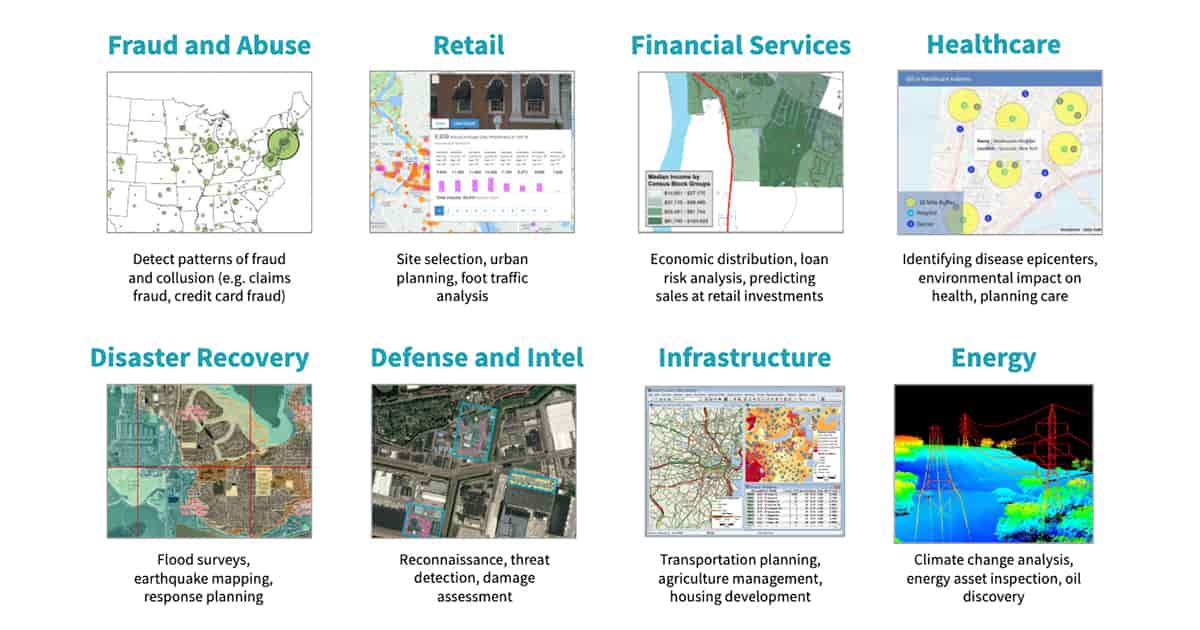
Geospatial data analytics lets the eye recognize patterns like distance, proximity, contiguity and affiliation that are hidden in massive datasets. The visualization of spatial data also makes it easier to see how things are changing over time and where the change is most pronounced.Benefits of geospatial analytics include:
Engaging insights — Seeing data in the context of a visual map makes it easier to understand how events are unfolding and how to react to those events.
Better foresight — Seeing how spatial conditions are changing in real time can help an organization better prepare for change and determine future action.
Targeted solutions — Seeing location-based data helps organizations understand why some locations and countries, such as the United States, are more successful for business than others.